A few days ago we read of a row at a building site off Ruxley Lane, on Scotts Farm Road. It seems that the builder, Bellway, the residents round about and the council are, or were, having a row about the Construction Traffic Management Plan.

My first attempt to find this road in our grand edition of the London AZ failed. BH found the place on a local map. After which my second attempt succeeded. Bit of a mystery why my first attempt failed. It seems that the back half of the playing field attached to Epsom & Ewell High School has been sold off for housing, that is to say the odd shaped bit of field to the right of the orange marker. Ruxley Lane being a lane that I now know quite well, it being the alternative when I don't have time or energy for a full Jubilee Way. While Epsom & Ewell High School impressed me when we were touring the area's schools for sprog one, more than twenty five years ago now. I thought the staff there really made an effort, which was not the impression that I got from the school that he actually wound up going to, Glynn - which I should say, in the event, served both him and sprog two very well.
At this point I decided that a visit was called for. A personal morning visit on the bicycle and a joint afternoon visit in the car.

Finding the site in question, I found that the gates were very firmly shut with a temporary stop notice affixed. The top of which is snapped above. The gates had been covered with some sort of white sheeting, but one could peep through the cracks to see that there was still some action, stop notice notwithstanding.
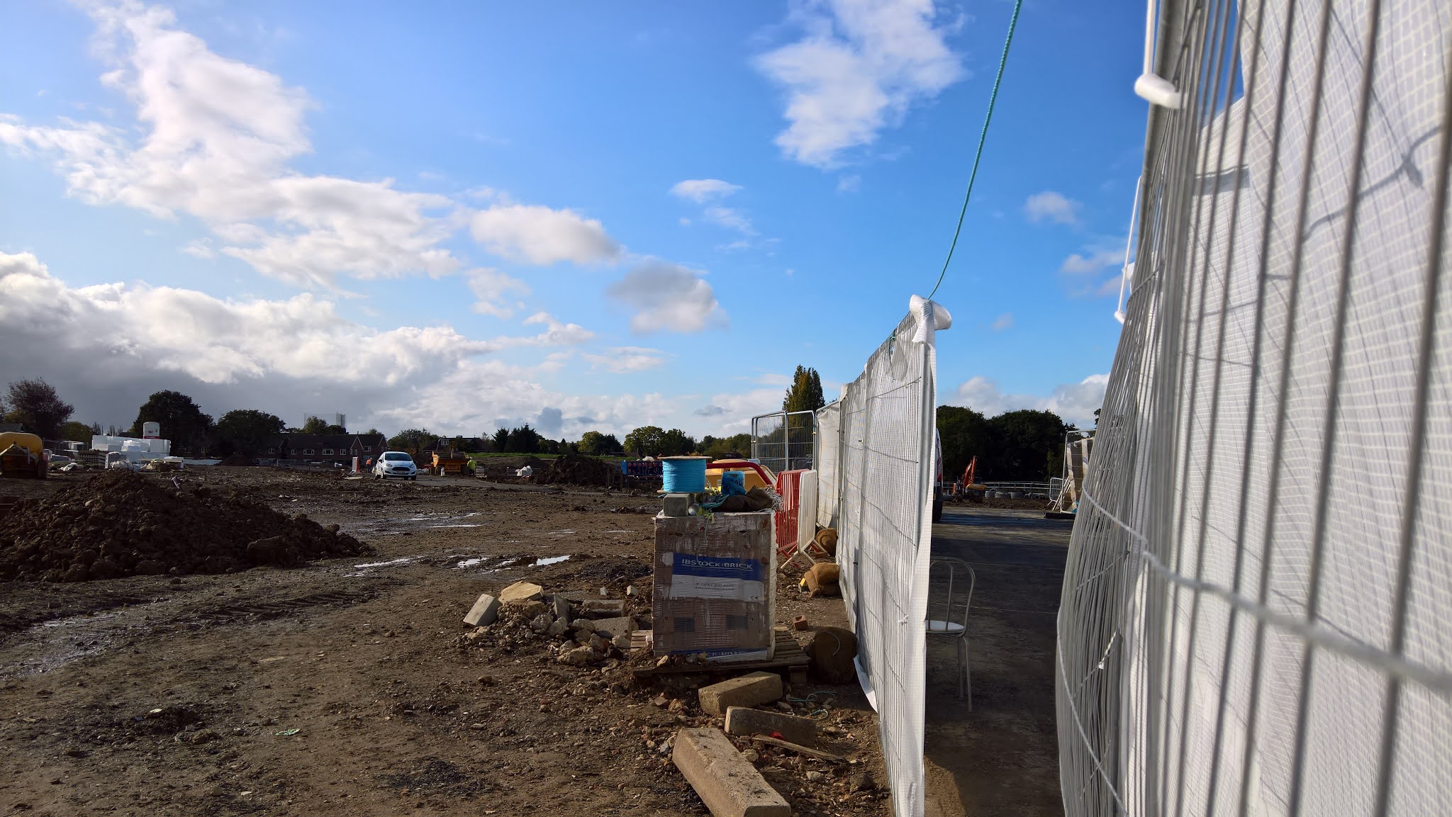
The view through one of the cracks. Having trouble today in locating the houses to the left of the white car or the white thing behind them, perhaps a plastic covered awning over a loft conversion. Further investigation needed. Aerial photographs not the magic bullet that one might at first take them for.
I was also struck by the earlier housing estate to the east of Scotts Farm Road, with very decent looking houses, well spread out with plenty of verge, trees and grass in front. There was also a parade of shops, probably not quite what it was thirty years ago, but still getting along. A whole estate of which I had no prior knowledge at all.
At which point I came to wondering what Scotts Farm was or might have been. So off to the fine heritage map service offered by the Scottish National Library.

So back at the time of the First World War, we had a Roxley Farm, some Roxley Cottages and a Poplar Farm. Not many houses at all.

A few years later, Roxley Farm had morphed to Ruxley Farm, Roxely Cottages to Ruxley Cottages and we had a new nursery. Poplar Farm was still marked, but looked to have morphed into housing off the Chessington Road. With a stream running from Chessington Close, up to Ruxley Farm, then running into the Hogsmill. More or less the boundary of the north west and south east parts of the playing fields now in question, showing in the gmaps satellite view we started with as a line of trees.

By the early 1960's all pretty much built up, including Epsom & Ewell High. Ruxley Farm may now be little more than a name on the map.

While on this planning map, whatever that might be, from about the same time, Ruxley Farm has vanished and Scotts Farm Road has appeared, out of the blue. No Scotts farm to be seen anyway, nor even a Scott's farm. Was Mr. Scott a local worthy of the time who managed to work his name into the estate that he had masterminded? A visiting celebrity, in the way of Holman Hunt doing some of his better known work in the area? Not that I am aware of either Holman Close's or Hunt Drive's. Is a visit to the local history museum at Bourne Hall indicated when it reopens? Are they taking telephone and email inquiries in the meantime? On a best endeavours basis, naturally.

I close with today's Ordnance Survey.
Perhaps I will get the local history bug yet. More of a runner than the family history bug, which I have yet to get excited about.
PS: I have yet to find Scotts Farm Road in the world of Bellway. As it happens, a company headquartered in Newcastle upon Tyne. Or, indeed, that of Mostrim.
Reference 1: https://www.bellwayplc.co.uk/. A web site for the investor.
Reference 2: https://www.bellway.co.uk/. A web site for the customer.
Reference 3: http://www.mostrimuk.com/. They got some local boys to do the groundworks.
Reference 4: https://maps.nls.uk/. The heritage map place.
No comments:
Post a Comment